Mara Neumann · 4 September 2026
Urban Geometry's Role in Modern Traffic Flow Optimization Strategies
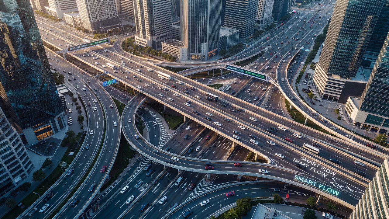
Urban geometry shapes how vehicles move through cities because street layouts, intersection angles, and building placements determine the paths drivers can take and the points where congestion builds up most often. Researchers have examined these physical features for decades, and data shows that altering road networks can change travel times by measurable percentages without adding new lanes or signals. Studies from multiple countries indicate that cities designed with curved streets and staggered intersections experience different peak-hour patterns than those built on strict grid systems.
Core Elements of Urban Geometry in Traffic Systems
Street width, block size, and the number of intersections per kilometer form the basic variables that planners track when modeling vehicle movement, while curved roads and one-way configurations add further constraints that affect average speeds and queue lengths at lights. Data from simulation software used by transport agencies reveals that reducing the number of four-way crossings in favor of T-junctions can lower collision rates and improve overall throughput during rush periods. Those who've analyzed large datasets note that the physical arrangement of roads influences not only cars but also public transit routes and pedestrian crossings, creating interconnected effects across the network.
Building setbacks and the placement of large structures also matter because they limit visibility at corners and change how sunlight affects road surfaces in different seasons, factors that indirectly influence driver behavior and maintenance schedules. Evidence collected in North American and European cities demonstrates that wider sidewalks paired with narrower vehicle lanes encourage slower speeds, which in turn reduces the severity of bottlenecks when incidents occur. Observers note that these geometric choices remain fixed for decades once construction ends, so initial design decisions carry long-term consequences for traffic optimization efforts.
Integration with Technology and Data Analysis
Modern optimization strategies combine urban geometry data with real-time sensors and adaptive traffic signals, allowing cities to adjust signal timing based on the fixed road shapes rather than attempting to reconfigure streets themselves. As of September 2026, several metropolitan areas have begun feeding detailed 3D maps of their street networks into machine learning models that predict where geometry creates persistent choke points. Figures from transport departments show that these combined approaches can improve average travel speeds by 8 to 15 percent in tested corridors without major physical changes.
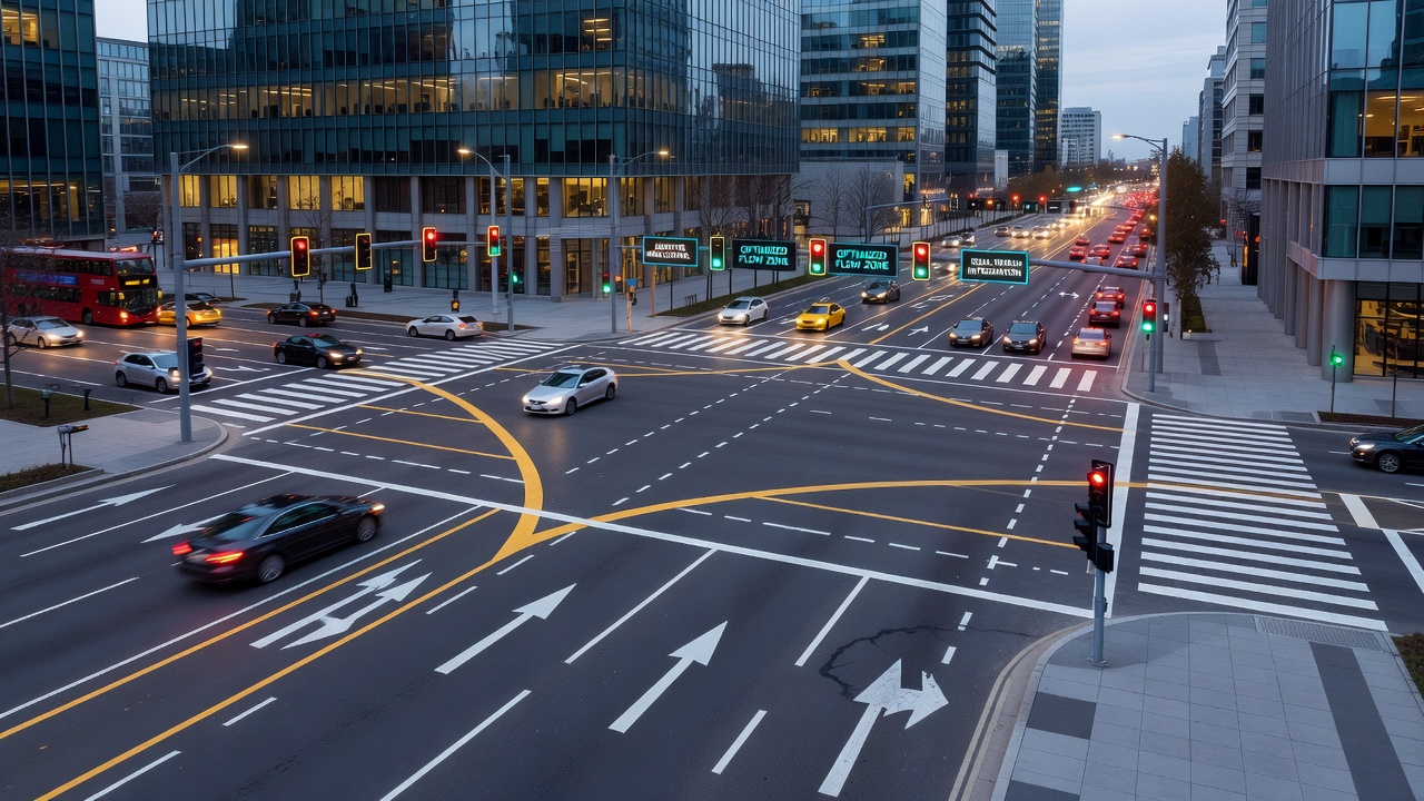
Simulation tools used by researchers allow planners to test hypothetical geometry modifications before any construction begins, and results from these models guide decisions about roundabouts versus signalized intersections. The U.S. Department of Transportation has published reports detailing how geometric data layers integrate with connected vehicle systems to provide drivers with route suggestions that avoid known congestion zones created by road layout. Similar work in Australia through the Bureau of Infrastructure and Transport Research Economics has produced comparable findings on how block length and street orientation affect freight movement efficiency in dense commercial districts.
Case Examples from Different Regions
One study conducted in a mid-sized Canadian city tracked traffic before and after the conversion of several grid intersections into offset designs, and the data indicated measurable reductions in delay times during morning commutes. In parts of the European Union, planners have examined older medieval street patterns that feature narrow winding roads, comparing them with newer expansions that add wider boulevards to relieve pressure on historic cores. Results show that hybrid approaches, where new connectors respect the original geometry while adding capacity, tend to produce better outcomes than complete overhauls.
Take one project where experts mapped every intersection angle across a downtown area and then adjusted signal phasing to match the natural flow directions created by those angles, leading to smoother progression for vehicles traveling in primary corridors. Researchers discovered that small changes to curb radii at corners can influence how large trucks navigate turns, which affects the overall capacity of adjacent streets during delivery hours. These examples illustrate how geometry serves as the foundation upon which technological interventions build their effectiveness.
Challenges and Measurement Approaches
Quantifying the impact of urban geometry requires consistent metrics such as vehicle hours traveled and level of service ratings at key nodes, yet many cities lack complete baseline data from before recent modifications. The OECD International Transport Forum has compiled comparative statistics across member countries that highlight how differences in street network density correlate with variations in average commute durations. Analysts continue to refine methods for isolating geometric effects from other variables like population density and public transit availability.
Conclusion
Urban geometry continues to serve as a foundational element in traffic flow optimization because its physical constraints determine what technological and operational strategies can achieve in any given location. Ongoing data collection and modeling efforts allow planners to identify where existing layouts create inefficiencies and to prioritize interventions that work within those constraints rather than against them. As cities grow and evolve, the role of street patterns and intersection designs remains central to efforts aimed at maintaining efficient movement for residents and goods alike.